

Vibriyogn earns computer certification
Gerard Borne/The Lion’s Roar
Geographic Informaton System (GIS) is a computer software system that deals with spatial or geographic data. Vibriyogn Epuri, a sophomore mathematics major, is among the first to receive a new certification in this area.
Vibriyogn Epuri, a sophomore mathematics major, earned a Geographic Information Systems International Building Code certification in the summer of 2019.
GIS IBC is a computer software system that is designed to capture, store, manipulate, analyze, manage and present spatial or geographic data.
Epuri explained what the certification means and where he does most of his work.
“It is an industry-based certification for the entry-level positions for the GIS positions,” shared Epuri. “Basically, once you get the certification and after graduation, you can get a job that starts pay at $15 an hour. It’s a job that is very technology-based as you work from your computer all day.”
He shared what the job role is of a GIS and what they use their research for.
“You add layers on different types of maps on a computer,” said Epuri. “From those maps, you can do stuff like analysis, study different geographical areas and learn about land shifts.”
Epuri took the certification for the Global Geospatial Institute in Baton Rouge.
“More times than not, it takes a year to study everything and take the certification test,” commented Epuri. “I was given a scholarship by Ms. Fran Harvey to take the course. It is supposed to take two semesters to really learn the material, but we had to cut it down to six months to learn it all. When they cut the class down to six months, it affected my studying schedule greatly.”
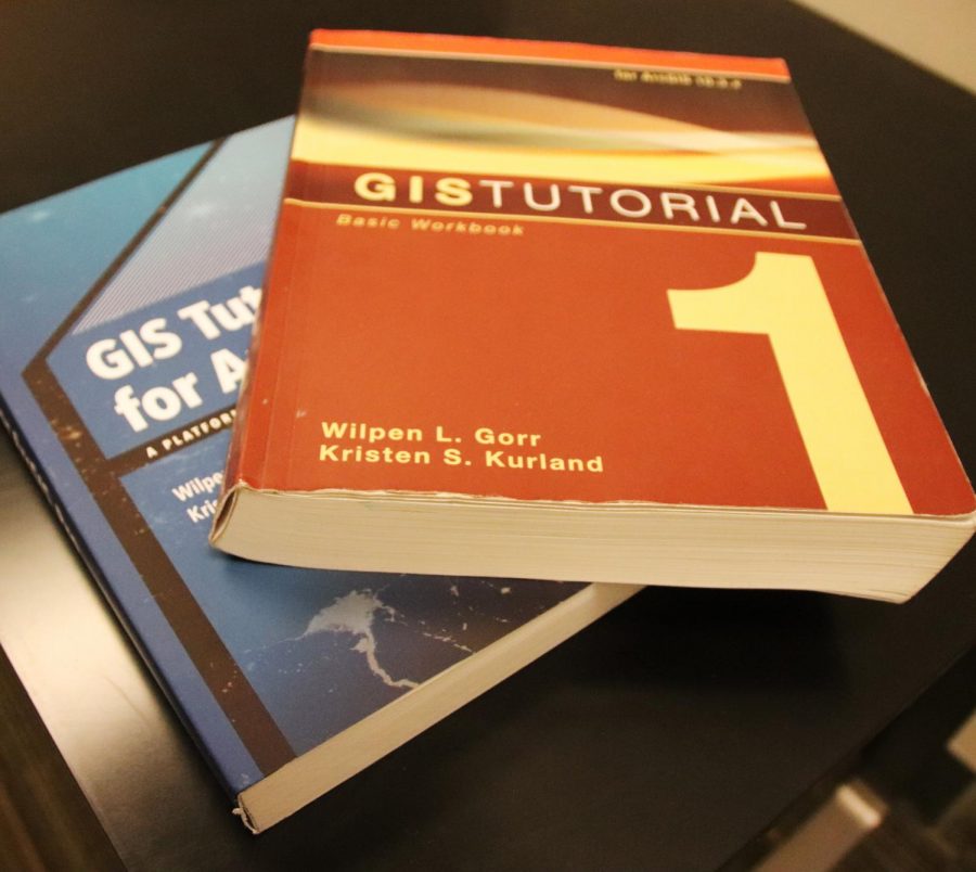
Tutorial books were available to help prepare for the exam.
“Basically we go through it and learn what GIS all has to offer,” stated Epuri. “You are basically learning all about computer stuff for the majority of the class. We took a lot of tests, quizzes and reviews to prepare for the test.”
Epuri explained why the certification is so important to him and who was the first person he told once he earned the certification.
“The point of the certification is to get a good job for summer internships and after graduation,” said Epuri. “A boss or business owner will see that certification on your resume and be impressed. My mom was the first person I told once I passed the test, she told me that she was so happy and proud of me.”
He shared what his next steps are in his GIS process and what certification test he is studying for now.
“I was certified in the basic GIS software,” shared Epuri. “The next certification I am going for is GIS Tutorial for Arch Map Pro. This is the professional software where you can do a lot more things with and go deeper into GIS.”
According to ZipRecruiter, the jobs that you can get with a GIS certificate are a GIS technician, an analyst, a project manager or a GIS programmer or developer. The duties of a GIS technician include handling data set collection and mapping responsibilities using existing software and applications.
Students and educators wishing to learn more about GIS and its application school can contact Stephanie Shaffett at [email protected] or call the Institute at 225-939-1091.
Your donation will support The Lion's Roar student journalists at Southeastern Louisiana University.
In addition, your contribution will allow us to cover our annual website hosting costs.
No gift is too small.

Gerard Borne is a communication major from Norco. Borne began working at The Lion's Roar in the fall of 2018. He plans to become a sports agent upon graduation.


Fran Harvey • Sep 20, 2019 at 11:33 am
Hello Mr Borne,
Great article! Thanks for interviewing Vibriyogn. This is a high demand/high wage field of study that we hope to get more high schools or early college involved in.
We are working on our second course, drones to smart mapping.
If you need any additional information please let me know.
Best regards,
Fran Harvey
225-939-3907 c